Shahbuz District
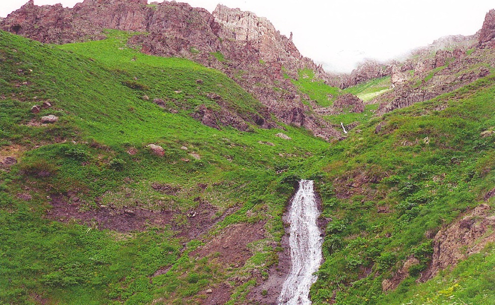
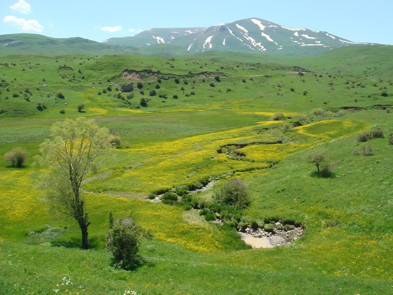
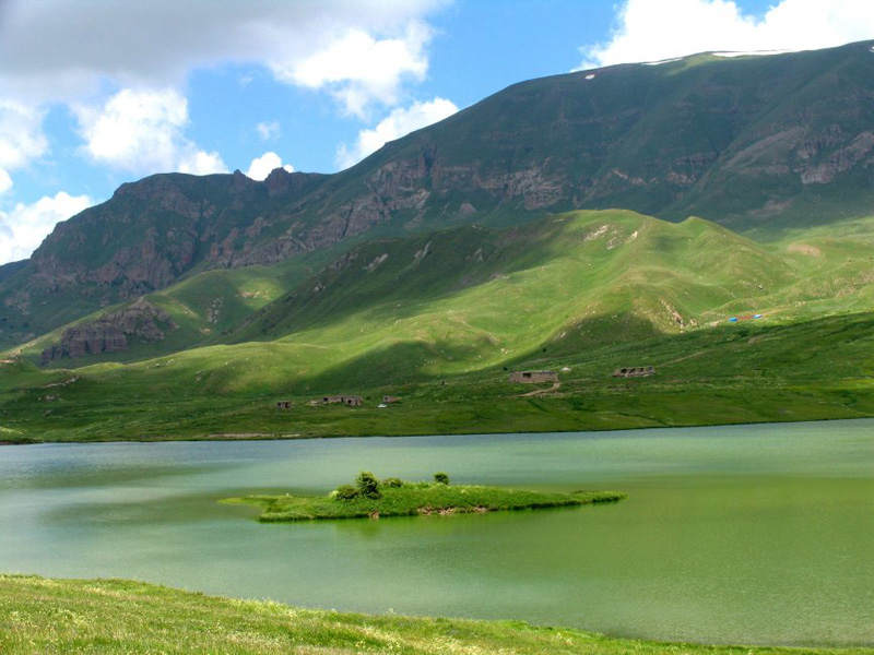
Located in the north of Nakhchivan AR . It is a mountainous area. The highest point is Salvarti (3162 m), Uchgardaş (3156 m ), Kechaldağ(3115m). The stupid mountain pass goes through here. As in all Nakhchivan Autonomous Republic , here are a lot of underground waters, including almonds , batabat , Caravansara , Bichanak mineral waters. There are sludge d, construction materials, and peat deposits. Nakhchivanchay and its tributaries: K Uku , Shahbuz ,The salvation is running. Lakes – Gandigol , Lake Batabat . There are forest massifs in the mountains. Almond mineral water bottling plant at the Almond resort was built (1400 meters).Shahbuz district was organized on August 8 , 1930 . It was abolished in 1963 and its territory was given to Nakhchivan (from 1978 to Babek ); Since 1965 it is again an independent region. It is bordered by the Republic of Armenia in the north and east . Area 836.58 km2. There are 1 town, 1 settlement, 22 villages in the district. The city is the center of Shahbuz.
Historical and architectural monuments
The Eneolite , Bronze , Iron Age era, antique and medieval settlements and graveyard monuments have been recorded and studied in the district. In the Kuku Rivervalley, there are residential areas of the III millennium BC. Researchers have studied ancient settlements such as Sarire , Agbulag , Kolani , Kuku , Külüs and Damascus. Discovered culture samples, graves , and coin samples prove to have a great culture in the early part of our era. Shahbuz stayThe bee was built at the beginning of our era. Sapurqalas the Shahbuz of the same name, near the village on either side of a steep rock surrounded with the mountains of the above. The archaeological monuments, such as the 1990 contest was recorded in. Findings of life in the fortress of Shapur era, the role of the first centuries XV – XVI centuries shows that it continues. Farabat Fortress BatabatIt was registered as an archaeological monument in the valley. Studies suggest that Farhad’s fortress is about the end of the first millennium and early era before our era. In recent years, certain works have been done to repair and restore the historical and architectural monuments of the region.The archaeological monuments ri Kulus near the village Kulus Tower (MA II millennium BC), Bronze and early Iron periods husband’s Kulus necropolis . The settlement and necropolis of the Bronze Age near the village of Remiş . Located near Damascus village, Iron Age is a residential area.On the left bank of Nakhchivanchay, 1st millennium Garnique settlement, necropolis. In the east of Bichanek village, in Batabat plain, The archeological monument of the end of the 1st millennium is the house of Farhad . The lipid-tomb of the monument consists of four rooms dug with rock-cut metal tools on the rock. Small tiles have been dug in the walls. There is a well in the right corner of the first room. On the right side of the entrance is a long haired man on the rock. On the left woman is officially affixed. Mount Kushchaay (1757 m) on the slopes of the Sirab River through the Shahbuz River .
Research shows that Shahbuz in the colored plates (e. G. III-II millennium BC), Khojali – Gadabay (e. G. II millennium – the first millennium and the beginning) cultures prevalent ( Saridere , Agbulag , Qarnıyarıq , Kuku , Kulus , Govurgala , Candles, etc.). It has been found out that there is a common burial tradition in Sarydere monuments. Cubic graves, seals, copper coins, etc. found in Agbulag village. Caucasian Albania of the area at the beginning of our eraindicates that the The Shahbuz fortress, mentioned in medieval sources, was built in the early centuries of our era. Ages 3-17 settlements in the region ( North , Eyvaz Yarnıx, Kechili , Kelekli , Kolanı , Mazra , ruins, etc.) and tombstones ( Ayrınc , Batabat , Ganligol, Nursu , Soyudlu , Turkes etc.) were studied studied.
The relief
The Shahbuz region is mountainous and the southern slopes of the Daralayaz Range and the western slopes of the Zangazur Range . The bush extraction is located in this area. In the western part of the district, the Kukudag ridge is located in the north-eastern part of the Suzandag ridge. In the central part of the district there are the Mazradag and Qeposidarara ranges.

")
