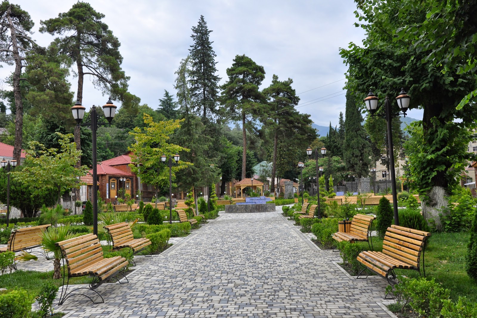
Zagatala district – administrative and territorial unit in the Republic of Azerbaijan . The administrative center is Zagatala
History
Established Zagatala administrative region – 08.08.1930.
Geographical position
The Zagatala region is located in the north-west of the Republic of Azerbaijan, 430 km from the capital Baku, in the southern foothills of the Greater Caucasus , in the Ganikh-Ayrichay valley.
Zagatala State Reserve, Zagatala Waterfall, Lake Xalaxi, Malarasa Extrem, 108 historical and cultural monuments of the country and region are organized in 1839 (23800 hectares), which is indispensable for the development of ecotourism. the minaret built in the 19th century in the mosul ‘s own erosion is considered one of the most beautiful architectural monuments of this region .The model is kept in the history museum of the Zagatala region .I would say that 100 percent of the mosul self contained ewes are ingiloys .The Albanian monument of II – IV centuries in Mamrux village, The Zagatala barrier belonging to the 7th century, the Cengizqala of the 16th century in the Car village, the Zagatala fortress built in 1830, and others. can be shown. Zagatala region Greater Caucasuslocated in the north-west of Azerbaijan at the foot of the mountain range. The region is bordered by the Dagestan Republic of the Russian Federation in the north-east, with the Balakan region in the west, and the Gakh district in the east. Plain relief prevails in mountainous, southern and southwestern parts of the north-eastern part of the district. The highest point in the district is Mount Qutan. (3648 m). Mild climate is observed in the mountains, cold climates are observed in the mountains. The average January temperature is -1 ° C in the plain, -10 ° C in the mountains, and the average July temperature is +24 ° C and +5 ° C, respectively. Here, there are 600-1600 mm rainfall per year. Half of the area is mainly covered by mountainous terrain and forests. Zagatala is an international region. Here mostly Azerbaijanis, Saksurs, Avars, Ingiloys, Russians and others live here. There are numerous historical and cultural monuments in the district. Central is the city of Zagatala. The city is located at 445 km from the capital of the Republic of Azerbaijan, 535 meters above sea level, on the bank of the Tala River, on the Yevlakh-Balaken highway.
Nature
Approximately half of Zagatala’s territory is forests. The relief of the district is mountainous and plain. There are many forests in the district , but they are mainly located in the mountains and foothills. Flora of Zagatala region is rich in different types of trees – chestnuts , walnuts , hazelnuts , oak , hornbeam , snowcock , etc. Fauna – deer , mountain goat , wild boar, bear, wolf , rabbit , and was represented by many species of birds – pheasants , grouse , mountain falcon , hawks ,turac , dolphin and nightingale .
In 1929 , the State Reserve “Zagatala” was created here on the southern slopes of the main Caucasian mountains .


